tel: 07973 498773
e:
Topographical, Measured Building Surveys
& Setting Out Services

Devon-based surveyors
Our Land Surveying & Setting Out Services - Bideford
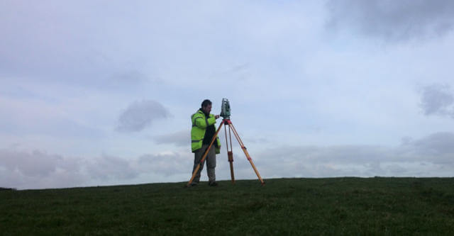
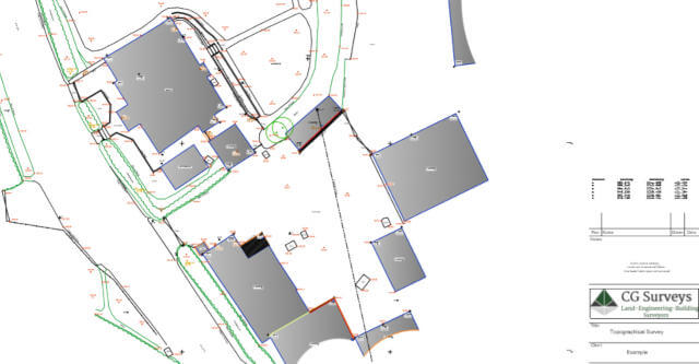
Topographical Surveys
- 2D & 3D Land surveys supplied in various formats including DWG/DXF/PDF & Hardcopies
- Site sections
- River Surveys
- Volumetric Surveys & Comparison
Site Engineering
- Freelance setting out service
- Setting out Coordinate Calculation Service for Architects/Engineers
- Transfer of the design to ground
Measured Building Surveys
- Floor Plan
- Building Elevations
- Sections
Boundary Surveys
- Conveyancing Plans
- Land Registry Compliant Plans
- Working alongside Solicitors, providing accurate boundary surveys to help assist in the successful outcome of boundary disputes
Due to Devon County Council - Devon Elevation Fund, we are now able to utilise modern surveying practices including 3D Laser scanning, Underground Utility Surveys & Aerial Surveying with the use of Drone Technology.

For friendly, professional advice and reliable Land Surveying & Setting Out Services call Chris Gorvett today on: tel: 07973 498773